

Trek to Kongma La pass altitude, map, difficulty and pictures
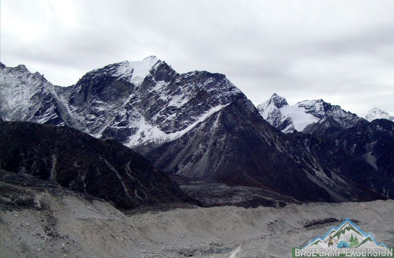
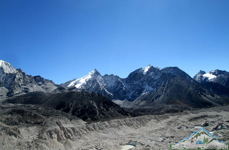
Kongma La pass altitude is 5,545 meters, 18192 feet above sea level. It is higher pass among the three passes of Everest region located between Khumbu Glacier of Lobuche and the Imja Valley Chhukung. Crossing kongma la is one of the ultimate high altitude trek offers spectacular mountains and landscape views. Physical fitness and well preparation require crossing the pass here is the Kongma la pass map.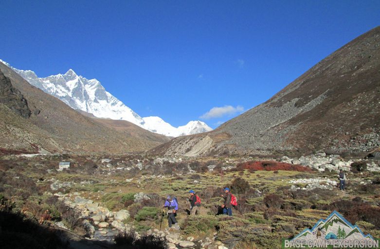
Everest base camp trek now
Gokyo lakes trek
Cho la pass trek
Everest three pass trek
Island peak climbing with EBC trek
Jiri to EBC trek via Gokyo lakes
Chhukhung to Kongma La trek is all the way uphill walks connect Lobuche, Gorakshep and Kalapatthar. From the top of pass you can see the awesome views high Himalayan peaks Makalu, Island peak, Amadablam, Thamserku, Cho Oyu, Lhotse, Pupori etc. Amazing blue lake near the top of Kongma la looks very beautiful.
Kongma La is toughest pass difficulty level of this trek is strenuous. Check trekking gear packing list don’t forget to take the important things. If you forget something, you can buy from Namche bazaar or Lukla. Trekkers can combine this trek with world famous Everest base camp trek too.
Enjoy the nature beauty during most scenic and adventurous journey in Everest trekking region via Kongma La. If you interested to hike across Kongma la pass in khumbu region write us.